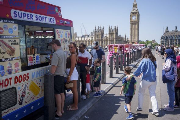

Another heatwave could be about to hit the UK as weather maps have turned a volcanic red with a scorching 33C predicted.
Netweather maps show the UK will hit the highs over a prolonged four-day period in June.
The highs are forecast to begin on Wednesday, June 24, and last until Saturday, June 27.
Temperatures begin to climb on Wednesday with Hampshire and London reaching the 30s, as other areas will also see temperatures in the high 20s.
On Thursday, the hot spells are set to continue with averages of 28C and 29C in the south as well as in Cheshire.
On Friday, the South West will especially bathe in the heat as Somerset is forecast to welcome 32C, with Dorset, Wiltshire, and Hampshire also expecting to see highs above 30C.
Heading into the weekend, the warm weather continues, hitting the peak of the heatwave.


On Thursday, the hot spells are set to continue with averages of 28C and 29C in the south as well as in Cheshire.
On Friday the South West will especially bathe in the heat as Somerset are forecast to welcome 32C, with Dorset, Wiltshire and Hampshire also expecting to see highs above 30C.
Heading into the weekend the warms continue, hitting the peak of the heatwave.
West Sussex can expect 33C as Glouctershire, Somerset and Wiltshire will reach a close 32C.
Much of England can expect 30C, or at least high 20s.
The West Midlands and Staffordshire will reach 30C as Brits will likely soak up the Saturday sun at local parks, pub gardens or nearby beaches.
The Met Office forecast for June 20 to 29 reads: "There is the possibility of some very warm and humid weather across parts of south and southeast Britain at the start of this period and perhaps the chance of a few thunderstorms too.

"Generally more changeable to the north and west at first, but there is a signal for high pressure to build more widely as we move towards the latter part of June.
"This likely brings more widely drier, settled conditions with temperatures probably remaining above average for most. It is still possible that Atlantic low pressure may still bring brief spells of wet and windy weather.
"There is a chance that the hot conditions, could return northwards accompanied by a thunderstorm risk; this all dependent on the orientation of the aforementioned high pressure."
The heatwave is anticipated following another spout of warm conditions that are forecast for this weekend, with yellow heat health alerts in place in certain areas.